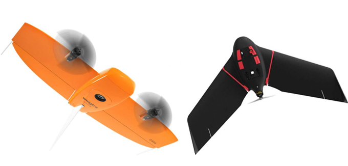
Drone Photogrammetry with Mini Drones
- Quick-start surveying for small to medium-sized projects without the need for lengthy permits.
- High-resolution aerial imagery and 3D mapping for fast data collection and analysis.
- Ideal for projects requiring rapid turnaround times and cost-effective solutions.
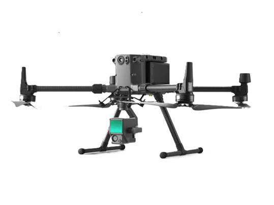
Professional Drone Surveys for Large Areas
- Advanced drone systems for large-scale mapping and surveying.
- High-accuracy photogrammetry and LiDAR data collection for complex terrains and expansive sites.
- Professional drones for geospatial photogrammetry offer high-precision aerial mapping and 3D
modeling. Equipped with advanced GPS, IMUs, and high-resolution cameras, they capture
detailed topographic data for surveying, construction, and environmental monitoring.
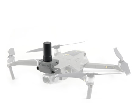
LiDAR Drone Surveys (DJI L1 with Metric350)
- Cutting-edge LiDAR technology for detailed topographic mapping, vegetation penetration, and infrastructure modeling.
- High-precision point cloud data for engineering, construction, and environmental applications.
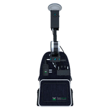
SLAM Scanning Systems.
- Mobile scanning for indoor and outdoor environments, providing real-time 3D mapping.
- Ideal for building information modeling (BIM), asset management, and as-built documentation.
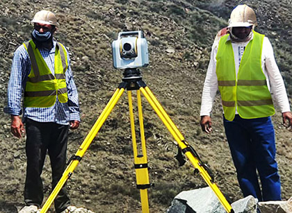
Terrestrial Laser Scanning (SX10 Scanner) / Calibrated GPS and Total Stations
- Precise ground control points and georeferencing for seamless integration with drone and LiDAR data.
- Traditional surveying methods for high-accuracy measurements and boundary surveys.
- High-accuracy scanning for detailed site surveys, deformation monitoring, and infrastructure projects.
- Combines scanning, imaging, and surveying capabilities in a single device.
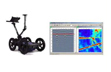
Ground Penetrating Radar (GPR)
- Non-destructive subsurface investigation for utility detection, void mapping, and geological studies.
- Enhances safety and reduces risks in construction and excavation projects.