About US
IGCC Survey
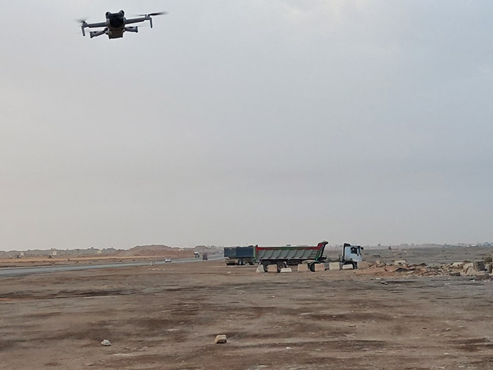
IGCC is a forward-thinking surveying and geospatial solutions provider, specializing in delivering accurate, efficient, and cost-effective surveying services. Leveraging the latest advancements in drone technology, LiDAR, SLAM scanning, and traditional surveying equipment, we cater to a wide range of industries, including construction, infrastructure, mining, agriculture, and environmental management.
- Construction: Site planning, progress monitoring, and as-built surveys.
- Infrastructure: Road, rail, and utility mapping.
- Mining: Stockpile measurements, terrain modeling, and volume calculations.
- Agriculture: Land management, crop monitoring, and irrigation planning..
- Environmental: Erosion analysis, flood mapping, and habitat assessment.
- Urban Planning: 3D city modeling, BIM, and asset management.
Our mission is to revolutionize the surveying industry by combining speed, precision, and innovation to meet the evolving needs of our clients.
Our Technology
Drones:
DJI Mini series (quick-start), professional drones for large areas, and DJI L1 LiDAR drone.
LiDAR
DJI L1 with Metric350 for high-precision topographic and vegetation.
SLAM Scanning
Mobile 3D mapping for indoor and outdoor environments.
GPS and Total Stations
Calibrated equipment for accurate ground control and measurements.
GPR
Subsurface utility and void detection for construction and environmental projects.
Terrestrial Scanners
Trimble SX10 for detailed site surveys and BIM applications.